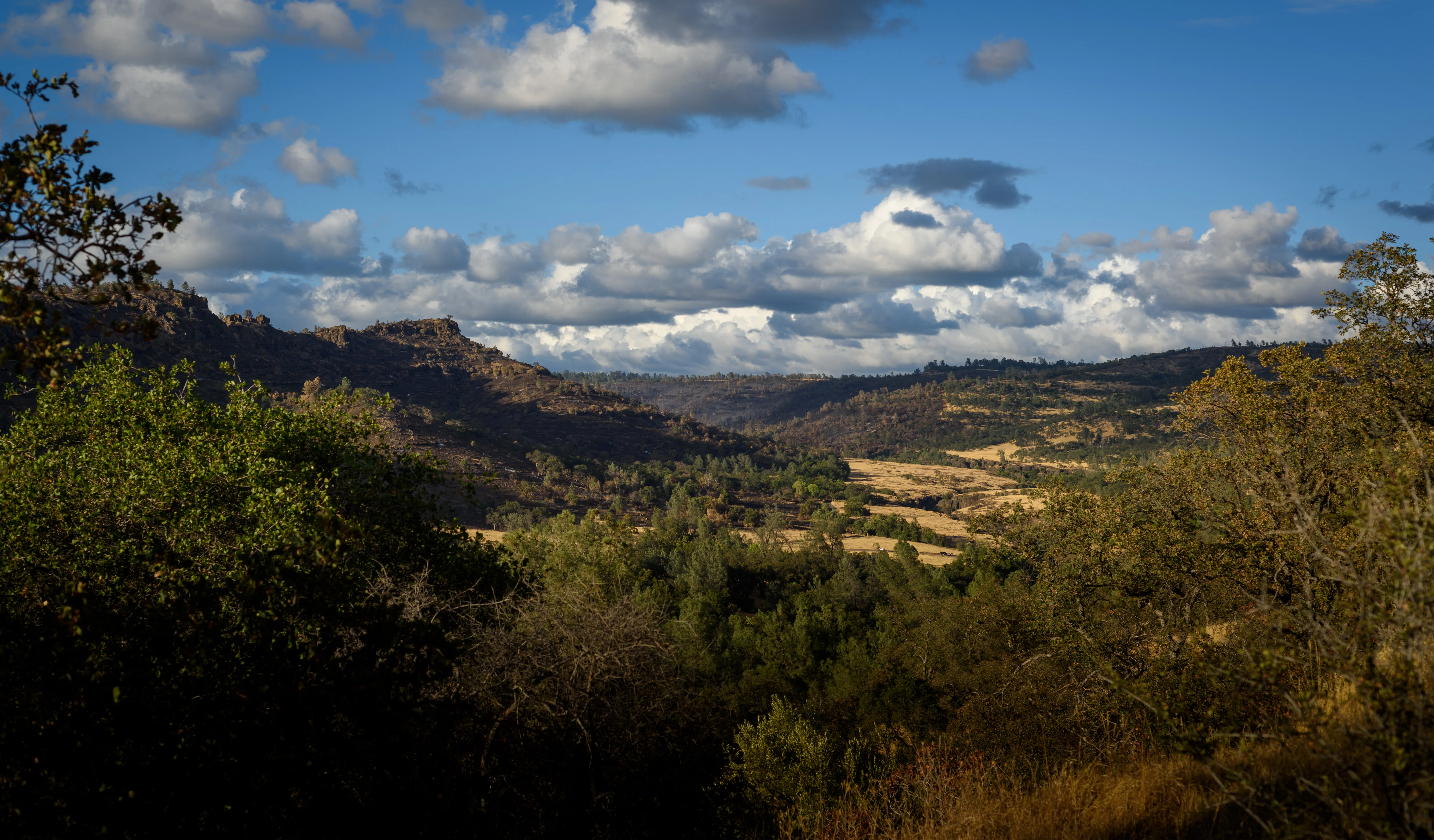


Oak foothills and open sky outside Chico, California
Cross-section of the soil beneath Chico: roots, clay, and gravel layers going down
surface
20 ft
40 ft
60 ft
80 ft
100 ft
120 ft

↑ family wells end between here and 150 ft

0–30 ft · the living layer
~30 ft · the water in 1955
~57 ft · the water today, and the plan’s goal (MO)
~97 ft · our ask
100–150 ft · the family wells
~123 ft · the current legal floor
500–1,000 ft · ag wells bottom out here
Aug 12 On Aug 12 the Board voted to let 1 in 3 residential wells go dry.

Groundwater for Butte · The Vina groundwater decision

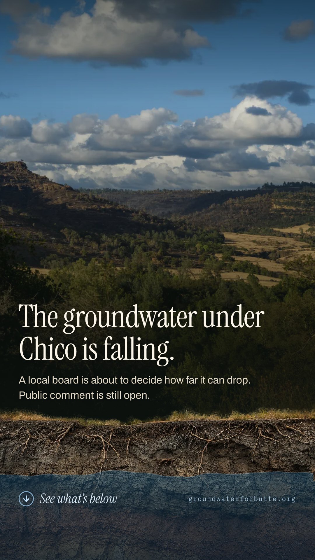
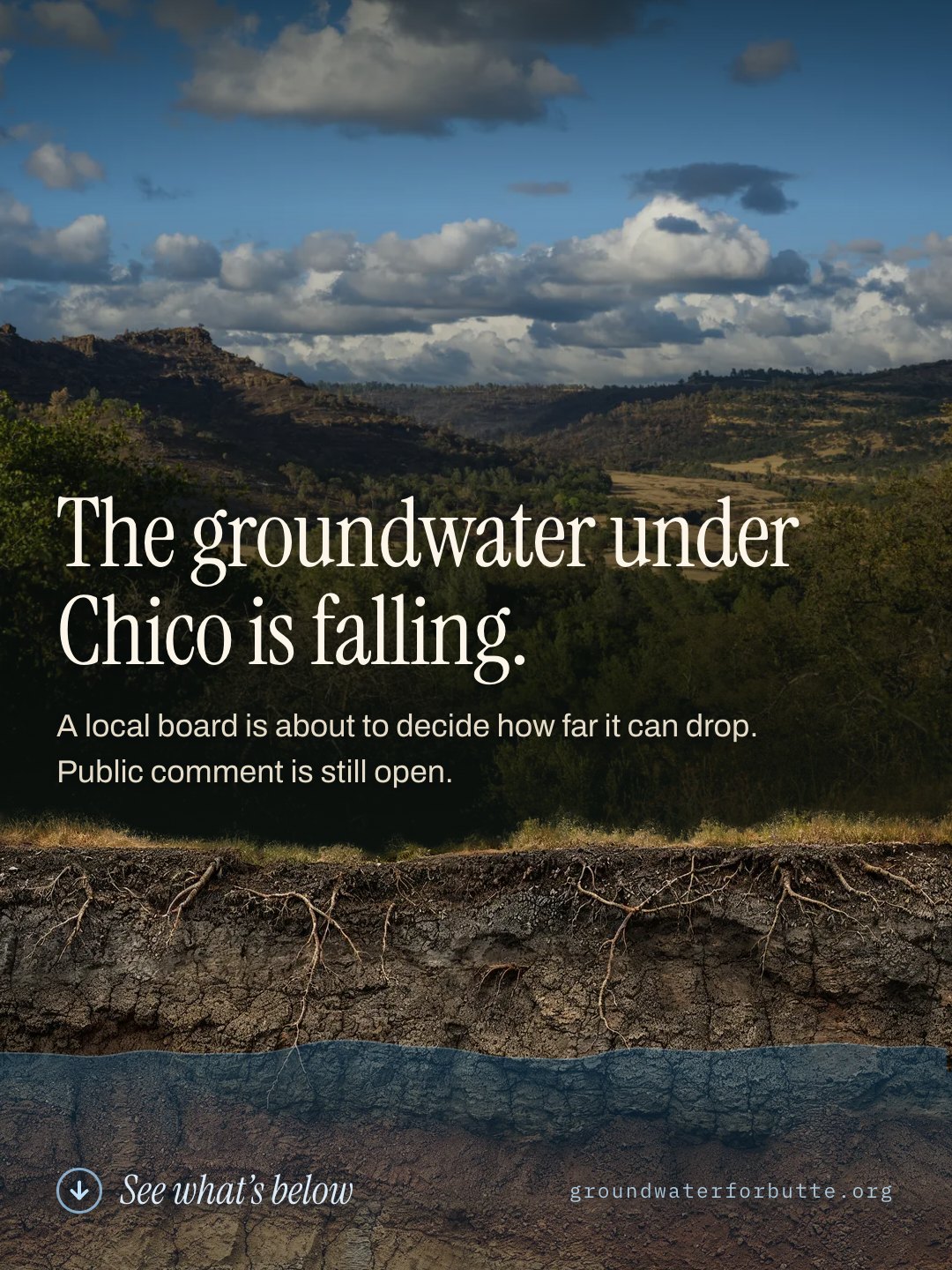
The groundwater under Chico is falling. We can still choose where it stops.

Every tree, creek, farm, and faucet here runs on water you can’t see. It’s been dropping about a foot a year for 25 years. A local board decides how far it’s allowed to fall before anyone must act. The story starts right under your feet.

↓ scroll to go underground ↓

Act before the vote

the surface · 0 ft

0–30 ft

The living layer

The shallowest groundwater provides life to the trees of our urban forest and feeds cold water into our urban streams in the hottest parts of the year. Roots only reach so far: every foot the water table drops puts more stress on these ecosystems.

~30 ft

Where the water was in 1955

A short walk down, for most of Chico’s history. This is the top of the water, and from here it only goes one way. Keep scrolling.

1955 → today

The long drawdown

For 25 years, more water has been pumped out than winter rains put back, slowly at first, then about a foot every year since 2000. Wet years buy a few feet back, but the trend continues.

~57 ft

Where the water is today

Down roughly a foot a year for 25 years. This is also, near enough, the plan’s own sustainability goal: what state law calls the Measurable Objective. Everything below this line is our savings account. We can dip into it in a drought, but continuing the downward trend is irresponsible.

57–97 ft

Room to dip in a drought

Nobody expects the water to sit at the goal every year. The plan takes droughts as a given, and a floor 40 feet down leaves room to draw on the savings when one comes. What it also does is commit to coming back up. This is the give in the system, not the new normal.

~97 ft

Where we’re asking the board to draw the line

The regulatory floor, what state law calls the Minimum Threshold, is meant to protect the homes, farms, and businesses that rely on shallow groundwater. Set 40 feet below the Measurable Objective, it allows flexibility to weather droughts while protecting 90 percent of domestic wells, similar to the approach every neighboring subbasin uses. Protection kicks in while the wells above the line are still wet.

100–150 ft

The family wells

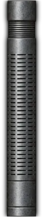
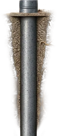
4,275 households and small farms around Chico and Durham pump from wells at 100 to 150 feet, the shallowest straws in the ground. When the water drops past a well, the taps sputter and quit, and replacing it costs $40,000–$50,000.

~123 ft

The current legal floor

No corrective measures are legally required until the water falls to the current Minimum Threshold, leaving hundreds of our domestic wells and small farms at risk of going dry. This level, 25 to 60+ feet lower than the neighboring subbasins, is being reconsidered by the Vina board right now.

500–1,000 ft

The deepest ag wells

The largest agricultural operations pump from 500–1,000 ft, hundreds of feet below any line the board is weighing. The sands and gravels down here stay saturated either way, so these wells keep running. A floor as deep as today’s costs them nothing; the households above lose their water long before it is ever reached.

What this means
  1. 0–30 ft

    The living layer

    The shallowest groundwater provides life to the trees of our urban forest and feeds cold water into our urban streams in the hottest parts of the year. Roots only reach so far: every foot the water table drops puts more stress on these ecosystems.

  2. ~30 ft

    Where the water was in 1955

    A short walk down, for most of Chico’s history. This is the top of the water, and from here it only goes one way. Keep scrolling.

  3. 1955 → today

    The long drawdown

    For 25 years, more water has been pumped out than winter rains put back, slowly at first, then about a foot every year since 2000. Wet years buy a few feet back, but the trend continues.

  4. ~57 ft

    Where the water is today

    Down roughly a foot a year for 25 years. This is also, near enough, the plan’s own sustainability goal: what state law calls the Measurable Objective. Everything below this line is our savings account. We can dip into it in a drought, but continuing the downward trend is irresponsible.

  5. 57–97 ft

    Room to dip in a drought

    Nobody expects the water to sit at the goal every year. The plan takes droughts as a given, and a floor 40 feet down leaves room to draw on the savings when one comes. What it also does is commit to coming back up. This is the give in the system, not the new normal.

  6. ~97 ft

    Where we’re asking the board to draw the line

    The regulatory floor, what state law calls the Minimum Threshold, is meant to protect the homes, farms, and businesses that rely on shallow groundwater. Set 40 feet below the Measurable Objective, it allows flexibility to weather droughts while protecting 90 percent of domestic wells, similar to the approach every neighboring subbasin uses. Protection kicks in while the wells above the line are still wet.

  7. 100–150 ft

    The family wells

    4,275 households and small farms around Chico and Durham pump from wells at 100 to 150 feet, the shallowest straws in the ground. When the water drops past a well, the taps sputter and quit, and replacing it costs $40,000–$50,000.

  8. ~123 ft

    The current legal floor

    No corrective measures are legally required until the water falls to the current Minimum Threshold, leaving hundreds of our domestic wells and small farms at risk of going dry. This level, 25 to 60+ feet lower than the neighboring subbasins, is being reconsidered by the Vina board right now.

  9. 500–1,000 ft

    The deepest ag wells

    The largest agricultural operations pump from 500–1,000 ft, hundreds of feet below any line the board is weighing. The sands and gravels down here stay saturated either way, so these wells keep running. A floor as deep as today’s costs them nothing; the households above lose their water long before it is ever reached.

Back at the surface · what you just saw

Our tree canopy isn’t a coincidence. Chico sits on the Vina Subbasin, a reservoir of groundwater that supplies 85–90% of the water we rely on every day. Rain refills it a little each winter. Our pumps take out more.

California law requires a local plan with one number that has real teeth: the Minimum Threshold, the depth the water is allowed to reach before corrective action becomes legally required. Above that line, everything is voluntary. Where you draw it decides who is protected, and who has already lost their well by the time help arrives. The local board responsible for managing groundwater in the Vina Subbasin, the Vina Groundwater Sustainability Agency, is redrawing that line right now.

What’s at stake

Shallow water goes first.

A falling water table doesn’t hit everyone equally. The people and places closest to the surface feel it first. This is what a line on a chart is actually about.

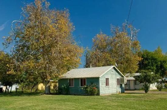
A small rural home under mature shade trees

Family wells go dry first

More than 4,200 homes around Chico and Durham drink from domestic wells, most of them from the shallow layer 100–150 feet down. As the water table drops, these taps sputter first, and replacing a well costs $40,000 to $50,000. Out in the rural neighborhoods, the tap, the shade, and the property value all ride on the same water table.

Shoppers browsing produce stands at a Chico farmers market

Small farms feel it before big ones

Many of the growers behind our farmers markets pump from the same shallow wells as homeowners. The largest operations pump from 500–1,000 feet down. Set the limits too low and small farms lose their water long before the big ones notice, and the market tables empty with them.

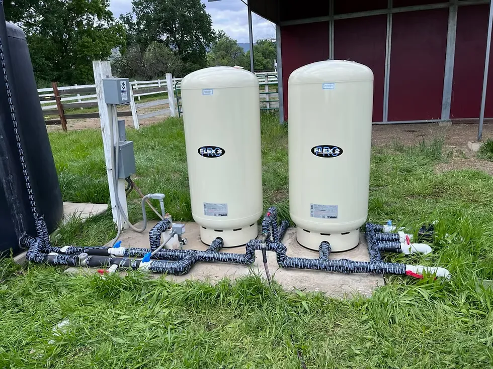
Pressure tanks for a residential well beside a barn

Every well’s power bill climbs

The deeper the water, the more electricity it takes to lift it. A falling water table is a quiet rate hike on every home, every business, and every farm.

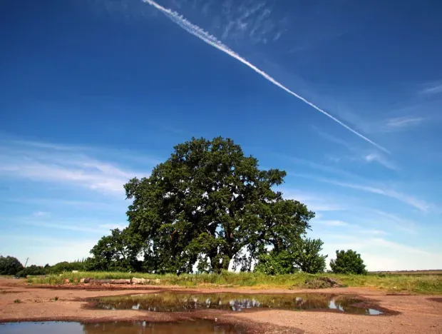
A valley oak spreading over flat open ground

Our oaks drink that water

The valley oaks in Bidwell Park and across town drink from the top of the aquifer. It’s part of how Chico stays green in August. When the water drops out of root reach, mature oaks decline, and they don’t come back. The current plan doesn’t even count our oaks as groundwater-dependent.

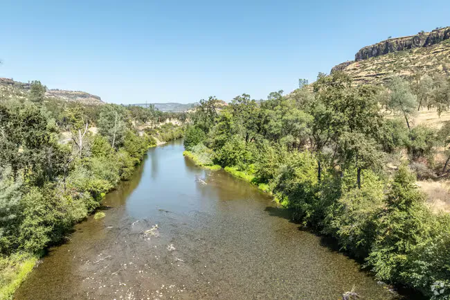
Butte Creek flowing between wooded banks

The creeks are connected

In the flatter reaches west of Chico, groundwater flows back into our creeks. That’s the cold water migrating salmon depend on. Over-pump the ground and flows drop; a creek bed that dries at the wrong time of year can cut off a salmon run entirely.

None of this is inevitable. It comes down to one decision a local board is making right now.

See what you can do ↓

Look around the neighborhood

Same aquifer. Different rules.

These are the real groundwater subbasins of our corner of the Sacramento Valley: the official DWR boundaries, drawn live from state data. Water under them moves; it doesn’t stop at the lines. Yet at Vina’s borders, the depth where action becomes mandatory changes abruptly.

A joint technical review of the regional corridor, carrying the Vina GSA’s own logo, found Vina’s floor sits up to 60+ ft below Corning’s and 25–59 ft below Butte’s. And in September 2025, Wyandotte Creek’s board voted unanimously to raise its own floor to protect shallow wells.

Vina · us, the outlier
Neighbors with more protective floors
Other corridor subbasins

Boundaries: DWR Bulletin 118. Threshold comparisons: North Sacramento River Corridor Joint GSP Evaluation fact sheet, Jan 2026 (buttecounty.net/2221).

Drawing subbasins from state data…

The same story, in feet

Watch where each district stops the fall.

Each column is the same ground, the same shared aquifer. The bright line is the Minimum Threshold, where that agency’s rules force action. Ours is the only one that leaves 17–20% of the wells installed after 1980 at risk of going dry.

63 ft

Corning Subbasin

floor 60+ ft higher than ours

81 ft

Butte Subbasin

floor 25–59 ft higher than ours

74 ft

Wyandotte Creek Subbasin

raised its floor unanimously, Sept 2025

123 ft

Vina (us) Subbasin

the lowest floor in the region

Same valley. Same law. A very different definition of “too far.”

Floors shown are the legal Minimum Thresholds. Officially they’re set as elevations (feet above mean sea level); we show approximate depth below ground surface so they’re easier to picture. Boundary differences: North Sacramento River Corridor Joint GSP Evaluation, Jan 2026.

For readers who work with the official numbers: ground elevation differs from district to district, so the plans set and compare these levels in feet above mean sea level. At the representative Vina monitoring well (23N01W36P001M), the ground is 164 ft above sea level, the goal (MO) is 108 ft and the legal floor (MT) is 45 ft: a 63 ft gap, or about 56 ft and 119 ft below the surface. Our charts show 57 ft and 123 ft, the rounded basin-wide figures used throughout the plan discussion. The cross-boundary differences shown here are taken directly from the Jan 2026 joint fact sheet, which compares the plans on those equal terms.

The decision on the table

Seventy years of falling water. Two places the board could stop it.

A typical Chico-area monitoring well, drawn the way water actually moves: down. The water has fallen to the plan’s own sustainability goal. The two lines below it are the futures the board is choosing between. Hover anywhere on the water line to read the year and depth.

Illustrative chart, simplified from DWR monitoring-well records and the Vina GSP (Appendix 3-C). Exact depths vary by well; the shape of the story doesn’t.

The whole decision is one number: which of those two lines becomes the legal floor, the depth where corrective action stops being voluntary and starts being required.

The current level

Keep the floor where it is

Leave the Minimum Thresholds where the 2022 plan put them: the lowest in the region. Nothing is legally required until harm that is already foreseeable has happened, and hundreds of family wells can fail before anyone must act.

The responsible alternative

what we’re asking for

Raise the floor

Set Minimum Thresholds 40 feet below the Measurable Objective, so corrective action kicks in while the wells above the line are still wet. The board’s own stakeholder groups backed this approach; Wyandotte Creek adopted it unanimously in 2025.

Worth knowing

Fair questions, straight answers.

“It rains every winter. Doesn’t it just refill?”

Not the way you’d hope. Groundwater isn’t an underground lake; it’s water held between sand and gravel. Drain those layers too far and they can compact. Once they do, that storage is gone for good. Winter rain helps, but for 25 years it hasn’t kept up.

“We’ll never actually get that low.”

That’s the main argument for keeping the limit deep. But if we truly never get there, a protective limit costs nothing: it would simply never trigger. The only scenario where the deep limit matters is the one where the water actually falls that far… exactly when we’d want protection. Either way, the protective number is the safe bet.

“Isn’t the board already adding a warning level?”

You may hear this one at a meeting. Staff have floated a “Local Management Level,” a line above the legal floor where the district would voluntarily start paying closer attention. An early warning is a fine idea, and we’re glad it’s on the table. But it carries no legal force, and it doesn’t move the floor: hundreds of wells could still fail before anything is actually required. A yellow light is welcome. It’s not a substitute for raising the red one.

The ask

Five things we’re asking the board to do.

None of them radical. Most are things the state has already recommended, or the folks next door already put in place.

  1. 1

    Adopt Alternative 3

    Set Minimum Thresholds 40 feet below the Measurable Objective, the way our neighbors do, so action begins while problems are still fixable. This is the proposal Dr. Greene put in front of the board — it was in the August packet and never discussed.

  2. 2

    Drop the “non-dry year” escape hatch

    Today, if the water falls past the legal floor during a drought, no corrective action is required. Droughts are exactly when wells fail. A dry well should count as harm in every kind of year — which is what the state asked for too.

  3. 3

    Count every well, and everything the water feeds

    Drop the pre-1980 exclusion and assess risk to all active domestic wells, as the state recommended. Remap groundwater-dependent ecosystems, including our valley oaks and urban forest, with biologists at the table. Monitor all 26 zones, not 5.

  4. 4

    Fund the safety net, but don’t call it the fix

    Stand up the Well Mitigation Program and pair it with protective Minimum Thresholds. In the state’s own words, mitigation “should not take the place of” protective standards.

  5. 5

    Show the math

    Cost/benefit analysis for sustainability projects before they’re submitted for grant funding.

Latest update

Vina GSA Board chose the weakest groundwater protections and voted to set Minimum Thresholds (MTs) an average of 63 feet below all-time historic lows. They ignored the public, their own staff, DWR, and expert and stakeholder feedback urging them to raise MTs to 40 ft below Measurable Objectives (MOs), a generous compromise to provide operational flexibility while better protecting residential wells. But the decision isn’t final!

Now is the time to speak up. Public pressure can still push the Board to reconsider the thresholds and adopt stronger protections for our wells, farms, creeks, trees, and communities.

Submit a public comment before the September 9 Vina GSA Board meeting and tell them to raise the MTs to 40 ft below historic lows and remove the non-dry year provision!

Take action

Ask the board to raise the line.

Two ways to be heard before the vote: a written comment, or a seat in the room at a board meeting. Every comment goes into the official record, which is what the state Department of Water Resources reads when it decides whether to approve this plan. The more comments on it, the stronger the case.

Send a letter

What kind of groundwater user are you? I am a:

Everything above fills in here as you type, and you can edit any of it directly. Comments in your own words carry the most weight. The board reads every one.

Rather send it yourself?

Show up in person

Next meeting

Wed, September 9 · 5:00 pm

Chico City Council Chambers, 411 Main St.

All four meetings before the vote

  • Wed, Sep 9 · 5:00 pm the next chance to speak
  • Wed, Oct 14 · 5:00 pm
  • Wed, Nov 4 · 5:00 pm final recommendation expected

The board is expected to settle its recommendation by November; the amended plan goes to the state in January 2027. Every meeting before then is a chance to be heard.

If you’ve never gone

  • You don’t have to speak. Being in the room counts.
  • If you do: comment card at the door, about 3 minutes.
  • Who you are, where you live, one thing you want protected. That’s a complete comment.

Add to your calendar

Or fund the work

We’re raising $7,000 to cover the cost of professional educational and advocacy content, so our community has the information and tools to take part in decisions that shape the future of our groundwater.

Donate $7,000 goal

One last thing